
Reduce stress and enhance accessibility
Integrate MapsIndoors into your campus solution to empower students and staff with detailed insights into building locations, room numbers, workspace areas, and more. With MapsIndoors, you can offer personalized routes, location-based services, and wheelchair-friendly routes, ensuring seamless access to all the facilities for everyone.

Elevate emergency response
Empower your clients with the tools they need to visualize emergency scenarios, identify evacuation routes, and provide students and staff with real-time location data. With MapsIndoors integrated into your solution, you can help your clients enhance their emergency preparedness and response. MapsIndoors helps university authorities and emergency responders make quick and informed decisions during critical situations.
-
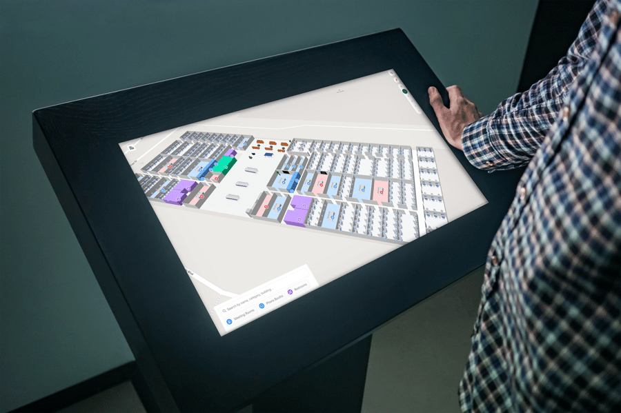
The MapsIndoors map, built on the industry standard Google Maps Platform, is a very welcomed change with the multi-floor feature that allows people to navigate the whole University campus without feeling lost. This is super important especially for new students and visitors who may not yet be familiar with the layout and location of tutorial rooms, meeting rooms, and lecture halls! And we all know that we should not be late for lessons.
 Kee HaurTeam Lead, Enterprise IT, Centre for IT ServicesNTU Singapore